Private cave house · Walking in the Granada Geopark
Walk a different side of Granada
Badlands, river gorges, forest and mountains — a remarkable variety of walks to explore from Leonard’s Lookout, your private cave house near Orce.
Explore the landscapesLeonard’s Lookout · Near Orce
A cave house to come back to
Leonard’s Lookout is the house. The country around it is yours to find, at whatever pace you like. Our traditional cave house near Orce has four double bedrooms, three bathrooms and several places to sit. The house and private terraces are all yours, with mountain views beyond. The outdoor four-person spa is available from 1 May to 31 October, heated as required, and closed from 1 November to 30 April.
The best thing about staying for several days is not having to decide everything in advance. One morning might take you to a riverside path, the next to the wide desert; another can belong to the terrace. You won’t do it all in a weekend, and you don’t need to. Return to the quiet cave rooms and, after sunset, to the dark skies of the Granada Geopark.

Walks and hikes around Orce
A different landscape almost every day
Most people arrive in this part of Granada expecting one kind of landscape. Then they start walking, and it keeps changing. From here, you can take independent day trips across the Altiplano, towards Huéscar and the Sierra de Castril Natural Park, or further into the Negratín and Gorafe country, without changing where you stay.
A place to begin
Four ways into the landscape
Choose the country that suits your day — there is no fixed itinerary
Orce · Galera · Huéscar
Ancient Earth
- Eroded badlands and open horizons
- Sismitas de Galera
- Perico Ruiz – Puente Roque
Castril · Sierra María (Almería)
Water & Pines
- River walks and limestone cliffs
- Nacimiento del Río Castril
- Pinar de la Alfahuara (Almería)
La Sagra
The Mountain
- A serious high-mountain day
- La Sagra summit · 2,383 m
- Experience and planning essential
Negratín · Gorafe
Water & Desert
The other Granada
Blue reservoir water, ochre cliffs and deep desert canyons.
Our approachPick an outing, follow its linked route information, and allow time simply to enjoy being here. Leonard’s Lookout provides the accommodation, not guided walks.
Five places worth the journey
Walks to build a day around
From Galera’s folded geology to Castril’s river, La Sagra’s summit, the Negratín reservoir and Gorafe’s desert, these are five very different days out. The route facts and source links can help you choose what suits your group and the weather.
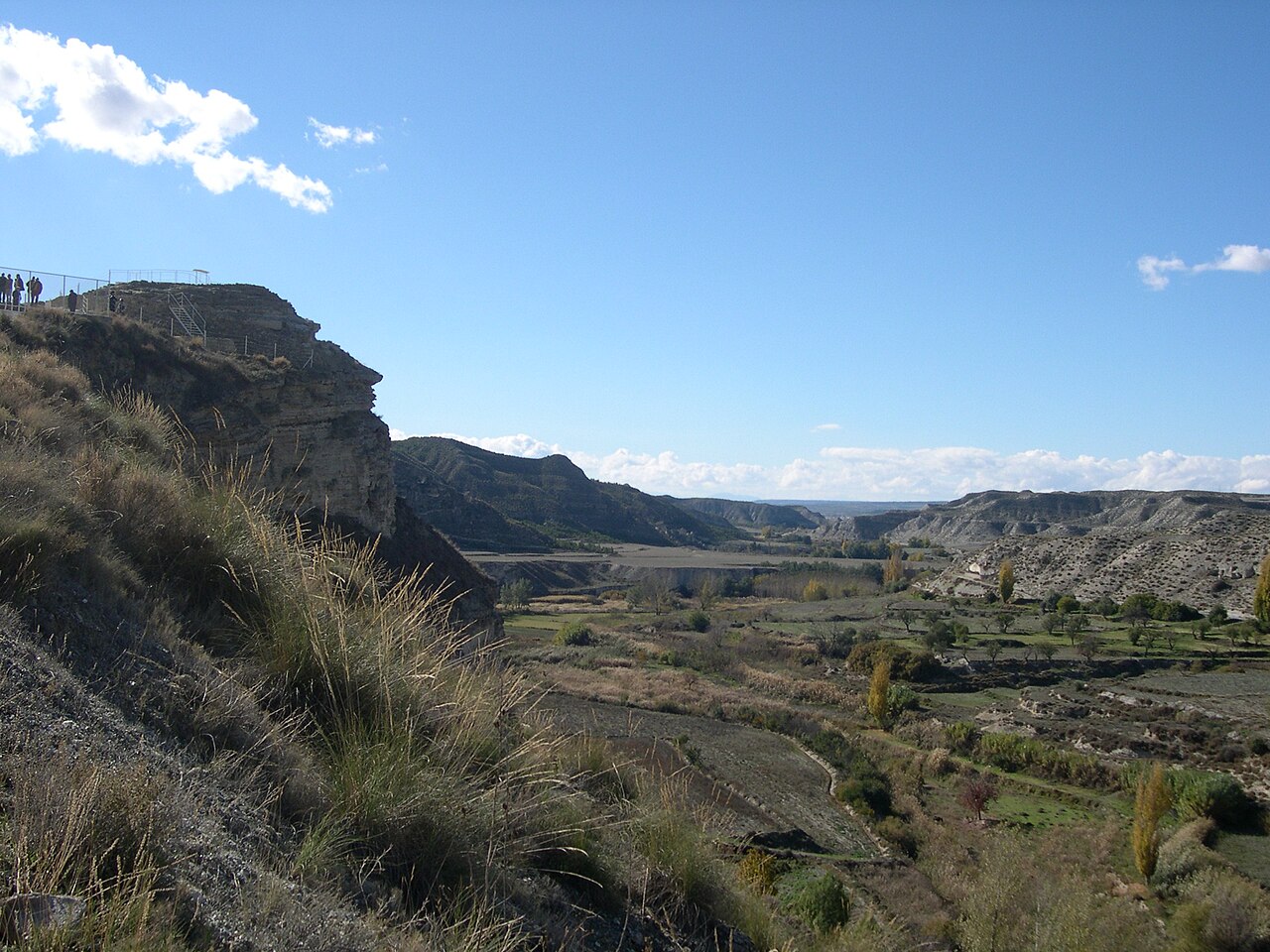
01 · Galera
Sismitas de Galera
The ground around Galera looks as though it has been folded by hand. This walk brings the Geopark’s ancient-earthquake story into the landscape.
Route facts: Use the Geopark’s mapped route for current distance, access and difficulty.
Route information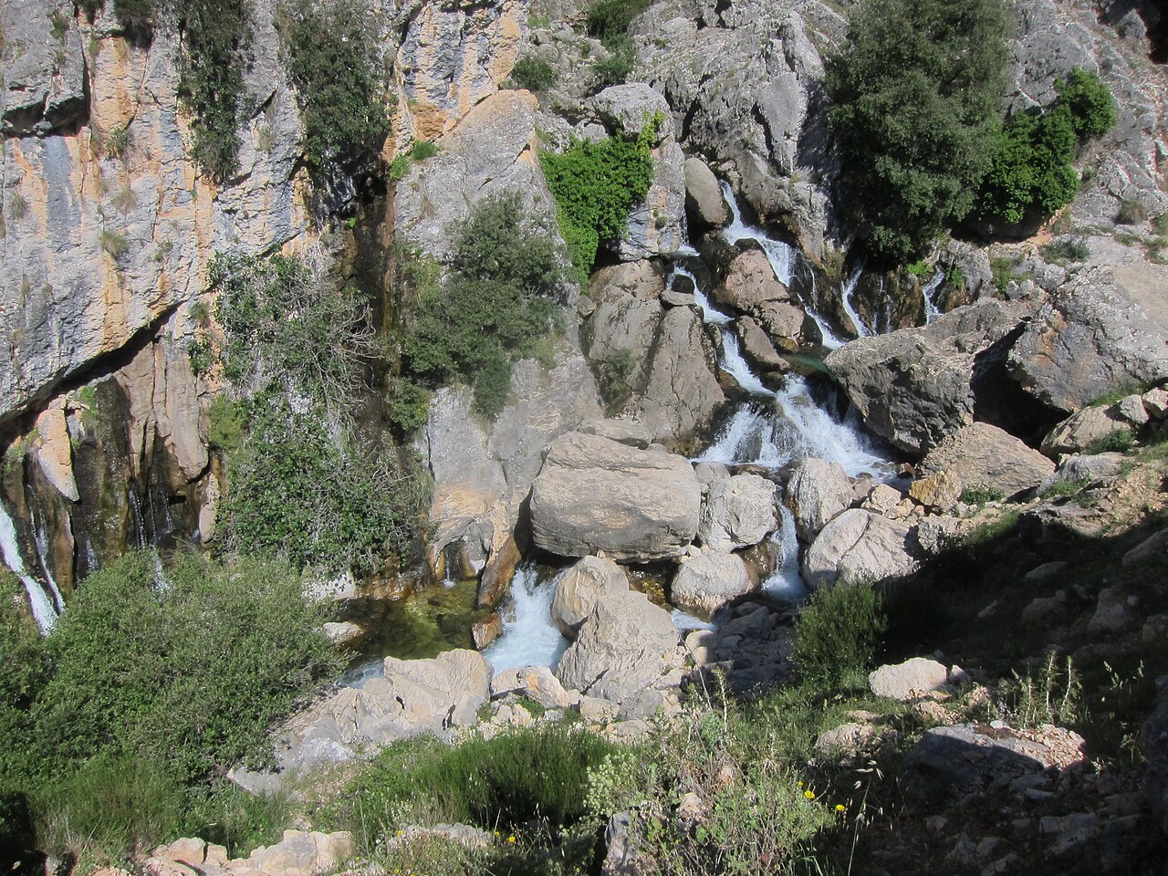
02 · Sierra de Castril
Nacimiento del Río Castril
Follow mountain water towards the limestone source of the Río Castril, a welcome change from the dry, open Altiplano.
In the Sierra de Castril Natural Park, the river emerges from the limestone mountains. This short route is linear, so allow time to walk back along the same path.
- Distance
- 2.19 km one way
- Time
- About 1 hr
- Route
- Linear
- Difficulty
- Low
03 · La Sagra
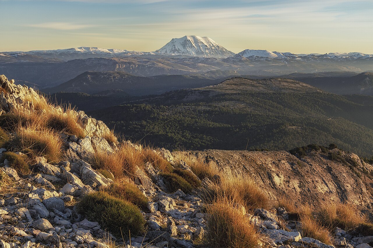
Las Santas – Cumbre de La Sagra
La Sagra dominates the skyline, and reaching its summit is anything but a casual stroll. A serious mountain day for experienced walkers.
The published PR-A 321 itinerary climbs towards the 2,383-metre summit and is linear, finishing away from its start. The stated distance and time describe that itinerary, not a return to your car. Mountain weather, navigation, equipment, fitness and the way back all require careful planning.
- Distance
- 10.2 km
- Ascent
- +1,145 m
- Time
- About 5 hr
- Difficulty
- High
04 · Negratín
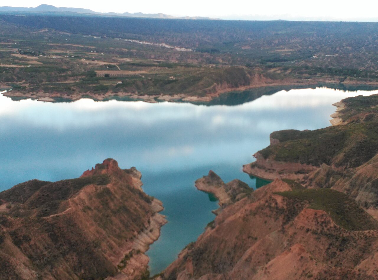
Playas del Negratín – Catedrales del Geoparque
The Negratín is a surprise: blue water edged by pale hills and eroded formations.
This circular route passes the Rambla de Doblas and the formations called the Catedrales del Geoparque. Check the municipal description for the current trailhead and access.
- Distance
- About 14 km
- Route
- Circular
05 · Gorafe
Desierto de Gorafe
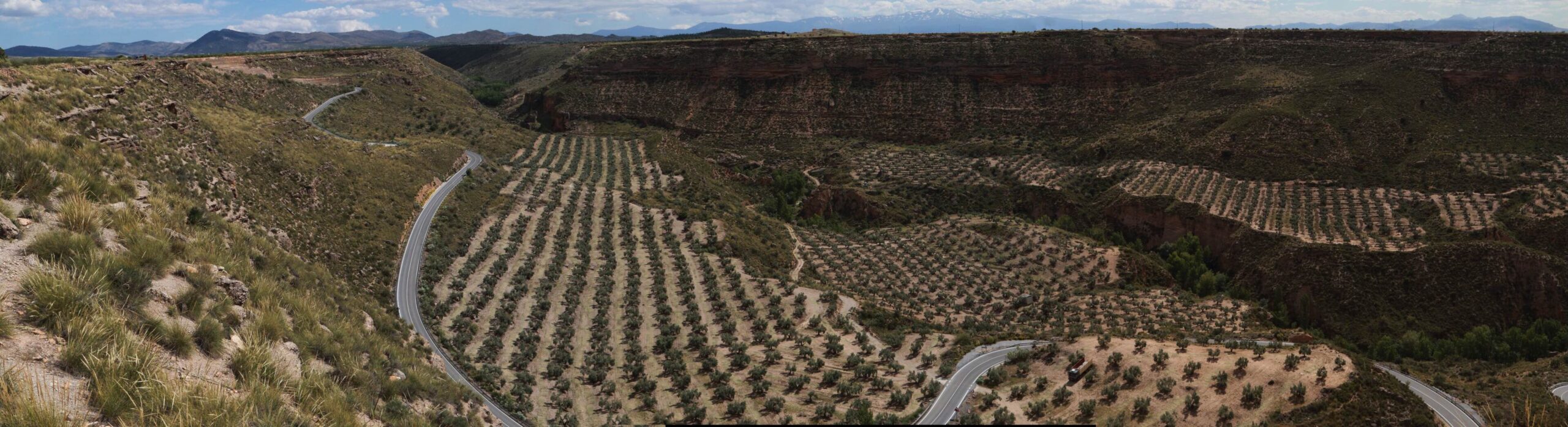
Gorafe feels vast and unfamiliar, with coloured canyon walls and wide desert horizons. One of the most demanding days in this guide.
PR-A 426 is a significant hike through exposed desert country. Water, sun protection, weather, navigation and the scale of the terrain matter much more here than on a short riverside walk.
- Distance
- 23.98 km
- Ascent
- +926 m
- Time
- About 6 hr 51
- Route
- Circular
The days between the big walks
There is no need to rush
Follow the water
Shorter riverside and gorge walks near Castril offer plenty to see without committing the whole day.
Find the quieter paths
Step into the wooded hills or walk through the strange geology around Galera and Huéscar.
Head for the big country
La Sagra and the Gorafe desert are demanding outings: pick suitable routes, check conditions and make time for the return.
Stay exactly where you are
Some days the best plan is lunch on the terrace, a good book and nothing else to organise. From May to October, you can add time in the spa.
More to discover
Six more walks worth exploring
Not every day needs to be a major mountain or desert expedition. These six further walks offer different lengths, landscapes and levels of commitment, all within reach for independent day trips from Leonard’s Lookout.
Route information: Descriptions and access can change. Use the linked sources to check trailheads, routes and current conditions before setting out.
06 · Huéscar · hills and barrancos
Perico Ruiz – Puente Roque
A substantial circular hike from the edge of Huéscar, climbing through barranco country to open views across the surrounding countryside. A satisfying day out without the high-mountain commitment of La Sagra.
- Distance
- 14.77 km
- Ascent
- +600 m
- Time
- About 4 hr 15
- Difficulty
- Moderate
Use the Huéscar route description for the starting point and current conditions.
Route information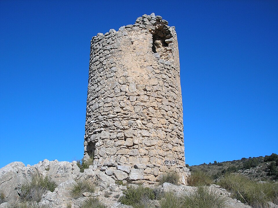
07 · Huéscar · river landscape
Nacimiento del Río Guardal
A shorter circular walk through greener country near Huéscar, passing poplars, walnut trees, pools and cascades towards the Guardal’s source.
- Distance
- Approx. 5.04 km
- Ascent
- +96 m
- Time
- About 2 hr
- Difficulty
- Moderate
Check the linked route details for the current starting point and access.
Route information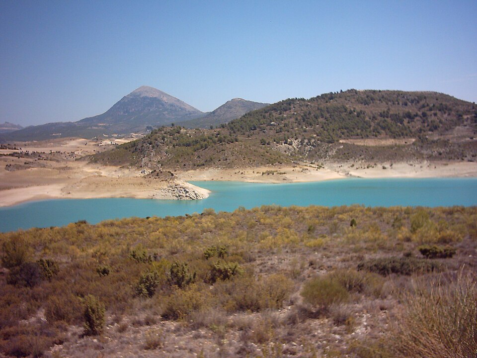
08 · Sierra María–Los Vélez, Almería · pine forest
Pinar de la Alfahuara
A signed route through native pine forest in Sierra María–Los Vélez. Its cool, wooded character makes a real change from the open Altiplano.
- Distance
- 8.3 km one way
- Time
- About 2 hr 30
- Route
- Linear
- Difficulty
- Medium
This route is linear: check the mapped itinerary and plan your own way back before setting off.
Route information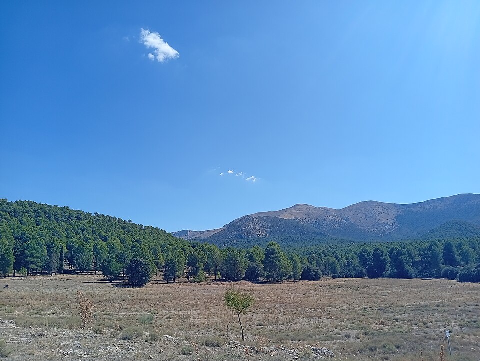
09 · Castril · scenic gorge
Cerrada del Río Castril
A short walkway along the gorge, with wooden paths above the water, a suspension bridge and a tunnel. More scenic stroll than serious hike, and a good way to see the river close up.
Route facts: See the linked municipal description for current length, access and conditions.
Check the municipal site for current access arrangements and any admission fee.
Route information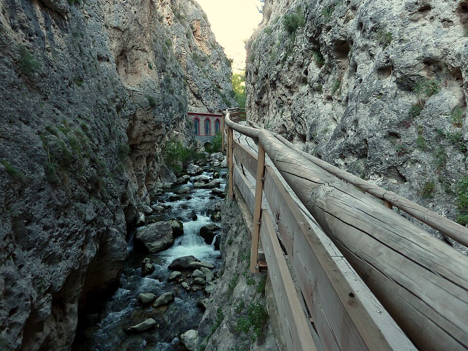
10 · Negratín · sculpted badlands
Chimeneas del Negratín
A circular walk from the Negratín viewpoint area, winding through eroded formations known as fairy chimneys and opening towards the reservoir. Dry earth and blue water, side by side.
Route facts: See the linked municipal description for current length, access and conditions.
Check the municipal route information for current distance and access.
Route information11 · Gorafe · coloured desert
Villanueva de las Torres – Los Coloraos
A route into the coloured badland landscape of Los Coloraos.
- Distance
- 13.3 km
- Route
- Linear
The route is linear, not a loop. Check the mapped itinerary and plan your own return before setting off.
Route information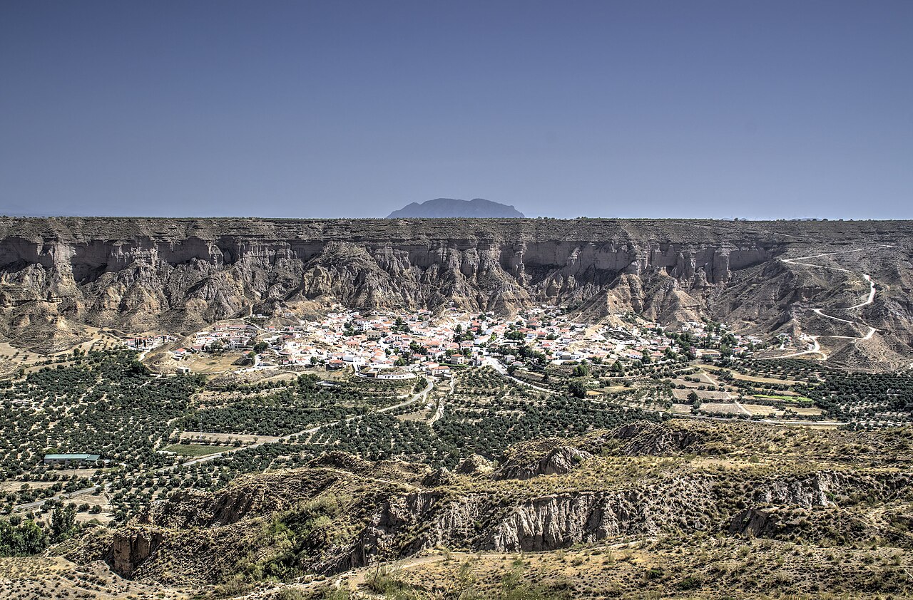
Before you set out: Walking conditions, weather and access can change, particularly on La Sagra and in the Gorafe desert. Check the linked route details, carry suitable equipment and choose an outing that matches your group’s experience. Leonard’s Lookout provides accommodation, not guided walks. The photographs illustrate the wider landscape and are not route-finding references.
Photo credits
- Nacimiento del Río Castril — Por los caminos de Málaga. Source photograph · Original on Flickr · CC BY 2.0. Resized for web and cropped in the layout.
- Las Santas – Cumbre de La Sagra — Rafael García Luna. Source photograph · CC BY-SA 4.0. Resized for web and cropped in the layout.
- Pinar de la Alfahuara — Urci dream. Source photograph · CC BY-SA 4.0. Resized for web and cropped in the layout.
- Cerrada del Río Castril — Andrew.brown.garcia. Source photograph · CC0 1.0. Resized for web and cropped in the layout.
- Sismitas de Galera — Rafael Jiménez. Source photograph · Original on Flickr · CC BY-SA 2.0. Resized for web and cropped in the layout.
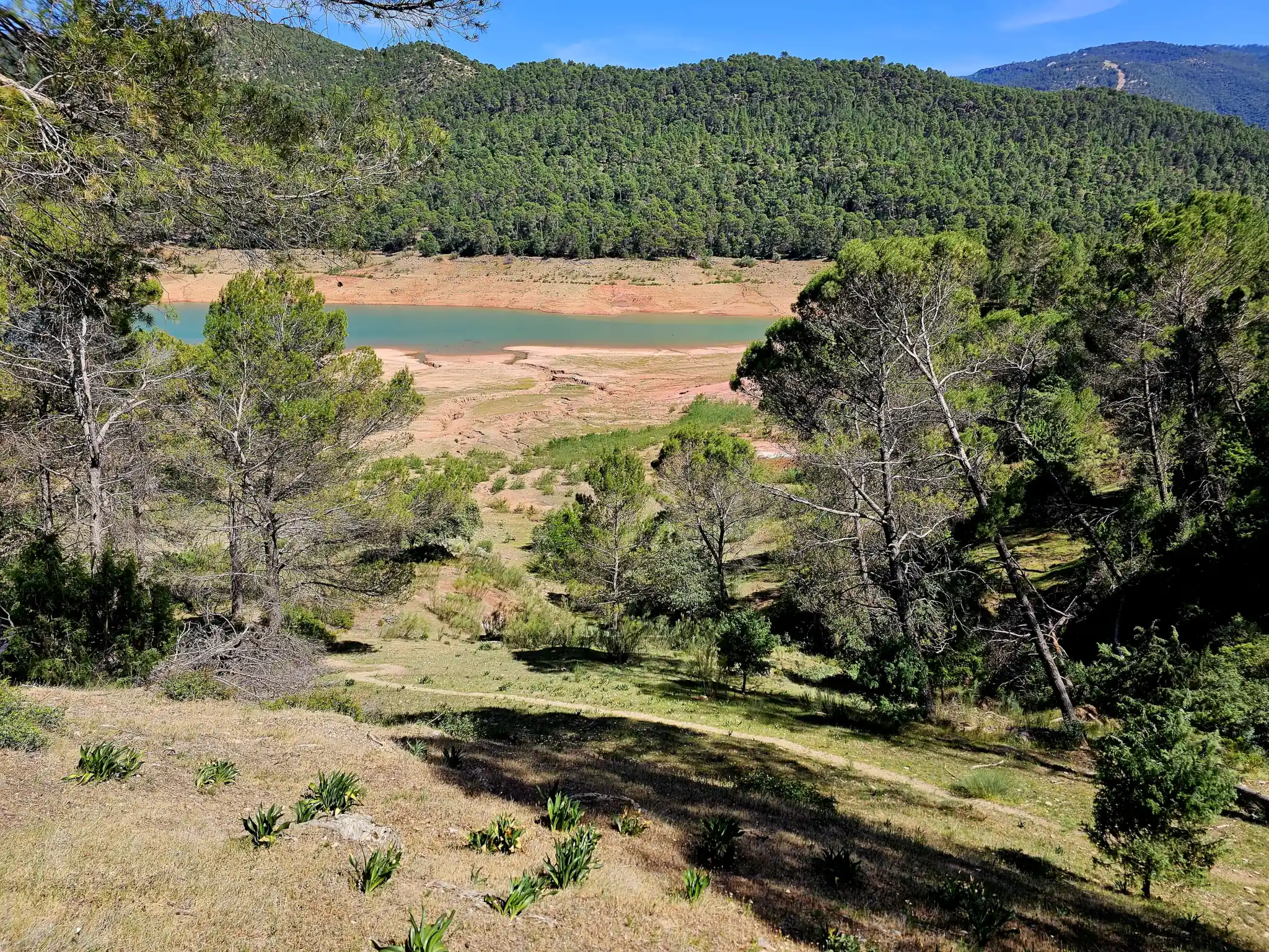
- Playas del Negratín and Chimeneas del Negratín — Yugurcito. Source photograph · CC BY-SA 4.0. Resized for web and cropped in the layout.
- Desierto de Gorafe — Víctor Fernández Salinas. Source photograph · Original on Flickr · CC BY 2.0. Resized for web and cropped in the layout.
- Villanueva de las Torres – Los Coloraos — Amfeli. Source photograph · CC BY 4.0. Resized for web and cropped in the layout.
- Perico Ruiz – Puente Roque — Jojumarva. Source photograph · CC BY-SA 3.0 Spain. Resized for web and cropped in the layout.
- Nacimiento del Río Guardal — David Pozo Navarro. Source photograph · CC BY-SA 3.0. Resized for web and cropped in the layout.


